Sacbé: the white roads that built the Maya highway
🚀 Key Takeaways
- Concept key : Sacbeob (plural) are raised, whitewashed causeways built mainly during the Maya Classic period to connect settlements.
- Practical tip : Visit Coba early, rent a bike and follow a restored sacbé to feel the scale and silence.
- Did you know : Modern LiDAR research has revealed thousands of hidden connections, rewriting our map of Maya networks.
Walking a sacbé is like stepping into a slow, white ribbon of history.
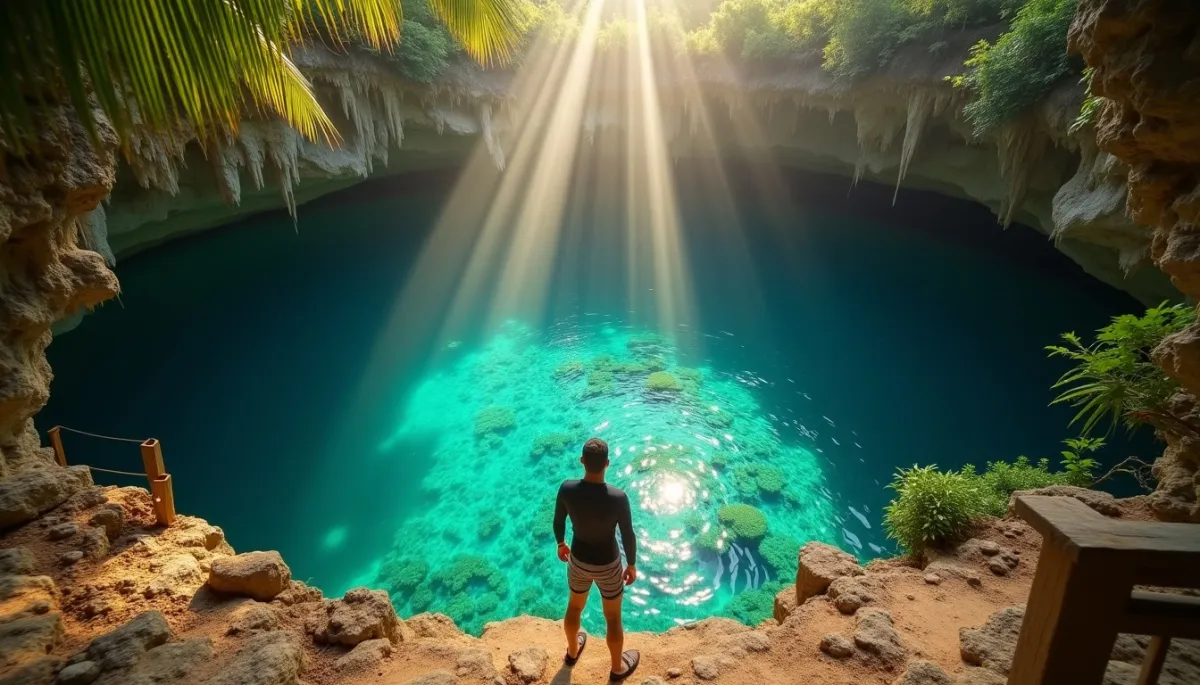
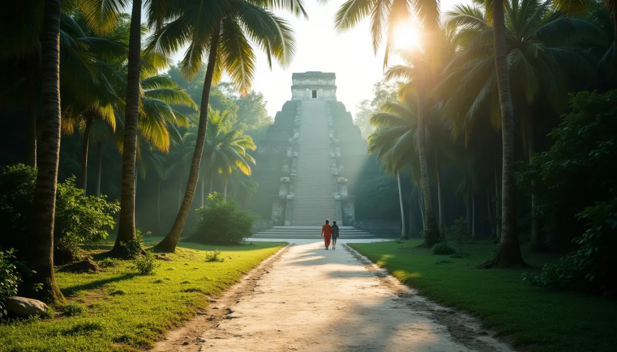
Imagine a raised limestone path cutting through a humid forest, the air thick with ceiba trees and the calls of toucans. The sun makes the stuccoed surface glow, as if the road itself remembers the sandals and sandals tied with yucca rope that once travelled it. Close your eyes and you can almost hear the procession drums, merchants' voices and the rustle of feathers as pilgrims moved between plazas and cenotes.
White arteries
Sacbeob, the white roads, are among the most striking engineering feats of the ancient Maya. Many were built between about 250 and 900 CE, the Classic period, though examples exist from earlier and later eras. Constructed of compacted rubble and covered with a lime plaster, they rose above the surrounding ground, sometimes a meter or more. The white coating made them visible across the jungle and helped drainage during the rainy season.
Their function was multiple. They linked ceremonial centers like Chichén Itzá, Coba, Uxmal and countless smaller settlements. Some connected settlements to freshwater sources such as cenotes, others served as military supply lines, trade corridors and routes for ritual processions. One of the most famous is the causeway cluster around Coba; archaeologists have identified a network of sacbeob that connected outlying communities to the central site, enabling administrative cohesion.
Long-distance connections existed too. The sacbé between Coba and Yaxuná is often cited in literature as one of the longest, with estimates near 100 kilometers, although precise measurements vary due to gaps and modern disturbance. These long corridors speak of a regional integration that challenges older models of isolated city-states.
Why they mattered
Why did the Maya build these shining roads? The answer blends practical needs and symbolic intent. Practically, raised causeways eased travel in a seasonally flooded landscape, guaranteeing year-round passage for people and goods. Archaeological finds along sacbeob include traded ceramics, obsidian and other commodities, proof of active exchange networks.
Symbolically, sacbeob had cosmological weight. The term sacbé can be translated as 'white way', and light, whiteness and direction carried ritual meaning. Processions along sacbeob could connect participants to the sacred geography, moving them between shrines, ballcourts and cenotes. Some causeways align with astronomical events; researchers have observed solar or planetary alignments that suggest ritual calendars guided construction choices.
Recent technological advances have amplified our understanding. LiDAR surveys across the Maya lowlands, published progressively since the 2010s, have revealed lines and elevated platforms invisible beneath the canopy. Where once archaeologists walked and probed to find a single sacbé, laser mapping now shows networks stretching across hundreds of square kilometers, reshaping how we imagine Maya urbanism and control of territory.
Echoes and challenges
Not everything about sacbeob is settled. Preservation is uneven, many ancient roads are fragmentary, and modern development sometimes cuts them. In the 20th and 21st centuries, roads, agriculture and tourism have damaged sections, but conservation projects at sites like Coba and Chichén Itzá attempt stabilization and public interpretation.
There are also debates among specialists. Some scholars emphasize the ritual, symbolic nature of sacbeob, while others focus on economic and administrative functions. The truth likely mixes both. A causeway could be a trade artery on Tuesday and a sacred procession route on Friday, anchoring political legitimacy and everyday life alike.
If you go, a few practical notes. In Coba the sacbé paths are accessible to visitors, and early morning is best for light and to avoid heat and crowds. Wear sturdy shoes, bring insect repellent and plenty of water, and hire a local guide to learn the names and stories of the sites you cross. Respect restricted areas, and remember these are fragile, ancient structures.
Today sacbeob invite us to read the landscape differently. They are not mere roads, they are the traces of choices, commitments and beliefs, white lines that once stitched a civilization together, and that still guide our footsteps between past and present.
Thanks for reading, and don't forget, Enjoy Life Moments!