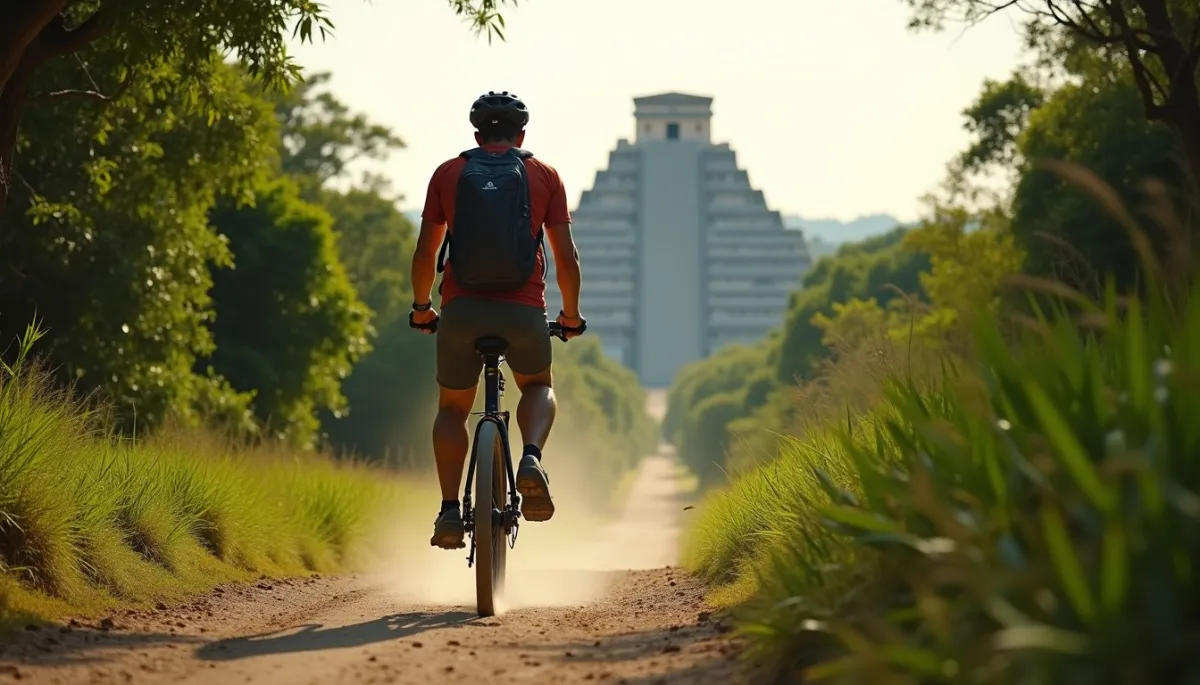
Explore Coba ruins by bike: an Indiana Jones adventure
🚀 Key Takeaways
- Core concept : Rent a bike at the site and follow the trails to explore rapidly and gently.
- Practical tip : Arrive early, bring water and insect repellent, and hire a local guide for context.
- Did you know : Coba was linked by raised stone roads (sacbeob) to other major Mayan centers.
Sense of discovery. You push through a narrow trail, wheels crunch on packed limestone, humidity presses against your T‑shirt. Birds call, a howler monkey barks in the canopy, and suddenly the jungle opens to a clearing where the pyramid rises like a stone mountain.
Paths through time
Coba is not one single plaza but a sprawl of clusters, causeways and lagoons hidden inside dense lowland jungle. At its peak (roughly 600 to 900 CE), the site controlled an extensive region and may have hosted several tens of thousands of inhabitants across outlying settlements.
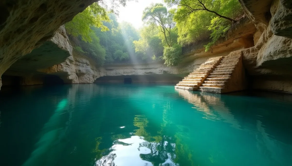
Archaeologists have identified a network of sacbeob (singular: sacbe), these raised white roads that linked Coba to distant cities and to farmlands. Walking or cycling them today you feel an echo of that old connectivity, the same routes once used for trade, pilgrimage and political control.
For visitors, bicycling is a practical way to cover the site's wide distances. The loop roads inside the park span several kilometers and some monuments sit far from the main plaza. A bike turns hours of trekking into a breezier, more cinematic exploration, very much in the spirit of an Indiana Jones scene.
Why bike here
Bicycles are woven into the Coba experience because the terrain suits them: flat limestone pathways, shaded stretches and short sections of compact earth. Rental stands at the entrance provide sturdy, often single-speed bikes, and a simple bell joins the toolkit of the traveler.
Choosing to ride also shapes what you notice. Speed lets you hop between groups of stelae, peer into jungle-scented depressions where cenotes murmur, and pause at viewpoints to photograph the pyramid framed by ceiba trees. You cover more ground, which increases context and storytelling.
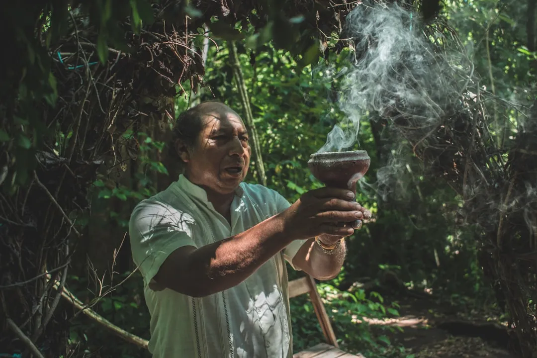
Local guides, many Maya‑speakers, add crucial layers: they point out glyph fragments, explain the function of ballcourts dated to the classical period, and narrate oral histories tied to nearby villages. Combine a guide with a bike and the site turns from a collection of stones to a living landscape.
Reality and cautions
The adventure has limits. The Nohoch Mul pyramid stands about 42 meters tall and offers spectacular panoramas, but safety rules may change. Before planning to climb, check the latest park notices, because access policies can evolve to protect the monument and visitors.
Practical constraints matter. Temperatures spike by late morning, insects are most active at dawn and dusk, and some paths become slick after rain. Bring at least two liters of water per person, wear breathable clothes, and apply biodegradable sunscreen and repellent to be eco-responsible.
Also consider cultural sensitivity. Coba is a heritage space and a landscape still meaningful for local communities. Support local guides, respect barrier signs, and favor services that involve villagers, such as cooperative bike rentals and food stands, to ensure tourism benefits stay in the region.
Thanks for reading, and don't forget, Enjoy Life Moments!