Are some cenotes still unexplored?
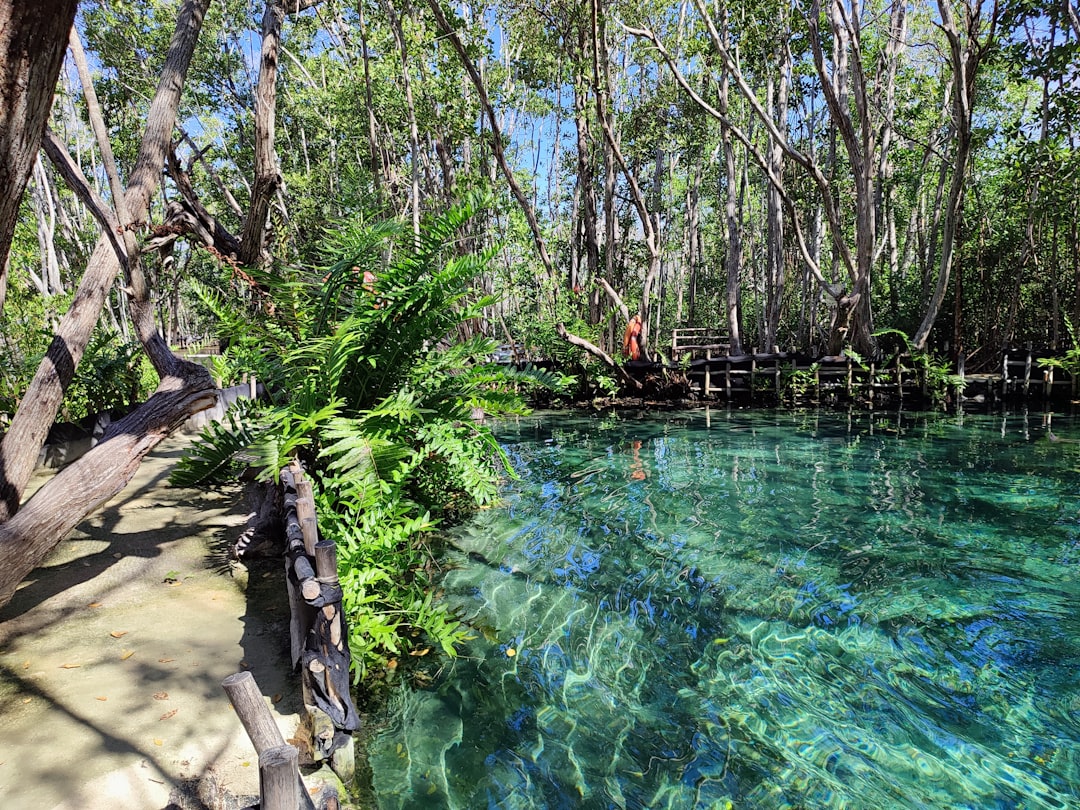
Cenotes are natural sinkholes formed when limestone collapsed and exposed groundwater beneath. They are not only breathtaking swimming spots but also entry points to a vast underwater karst system that supplies much of the Yucatán Peninsula's fresh water and holds clues to ancient environments.
With advances in cave diving, sonar mapping and remote sensing, exploration has accelerated since the late 20th century. Yet logistical challenges, fragile ecosystems and legal protections mean many caves remain off-limits or simply too dangerous and complex for full mapping.
What makes a cenote potentially unexplored?
Many cenotes show surface openings but connect to long, narrow passages that are blocked by silt, collapsed rock or strong currents; these features can effectively hide whole branches of a cave system. In such conditions, physical access requires specialist cave-diving skills, cutting-edge equipment and often months of preparation.
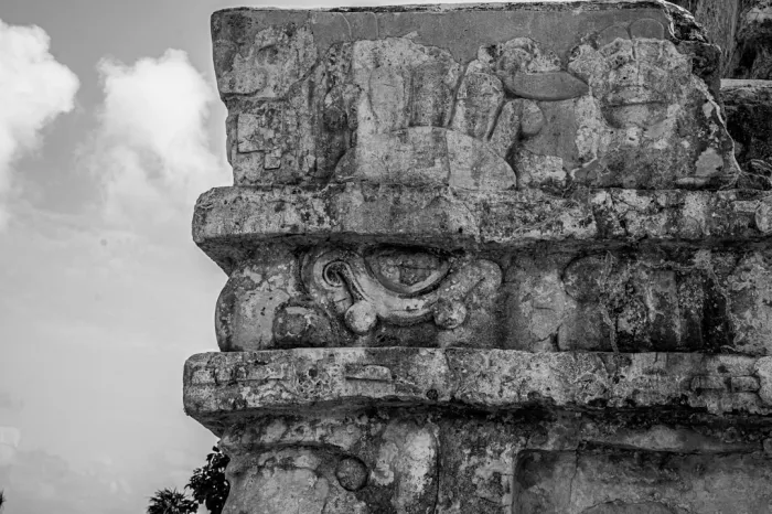
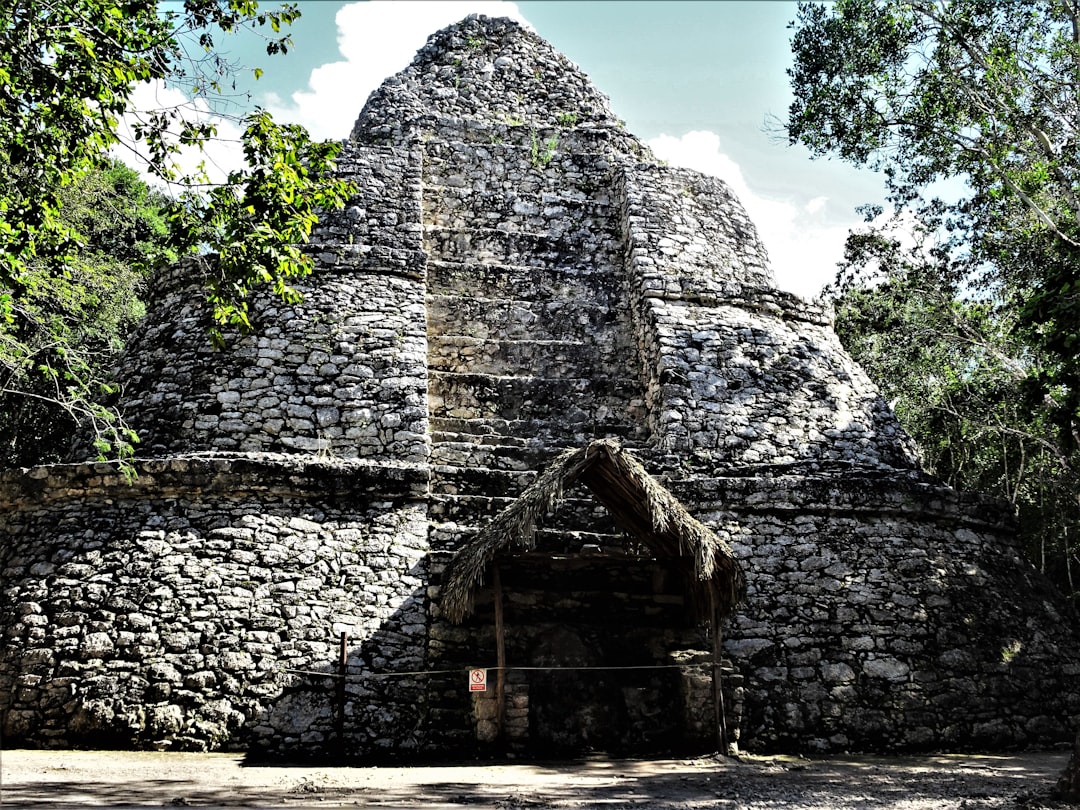
Beyond access, some cenotes are in remote jungle, private land or protected archaeological reserves. Land ownership and conservation regulations frequently limit exploration and public access, which helps preserve fragile stalactites, archaeological deposits and endemic species.
How much remains unmapped?
Estimates vary. While major systems like Sac Actun and Ox Bel Ha have tens or even hundreds of kilometers of mapped passages, smaller or peripheral systems often have only partial surveys. New connections are still being discovered that join separate systems into much larger networks.
Exploration reports and dive logs regularly record extensions to mapped lengths. For travel context and visitor reviews, many people consult resources like TripAdvisor for surface cenotes and National Geographic for scientific coverage; both provide complementary perspectives on sites and discoveries. TripAdvisor and National Geographic remain useful starting points for practical and contextual information.
Barriers that keep cenotes hidden
Safety is the primary barrier: submerged passages can be unlit, narrow, silty and labyrinthine. Even experienced open-water divers are unqualified for cave penetration, so exploration is limited to a small community of certified cave divers and researchers.
Environmental and cultural protection is another barrier. Many cenotes contain fragile archaeological remains from pre-Hispanic times and unique aquatic species. Authorities sometimes restrict exploration to prevent damage or looting, which can leave scientifically interesting passages unexplored for long periods.
How technology is changing exploration
Recent advances—rebreathers, guideline techniques, side-scan sonar, and underwater LiDAR—have increased what teams can safely map. Autonomous underwater vehicles (AUVs) and robotic sondes can enter tight or silty passages too dangerous for humans, revealing new chambers and connections.
Collaborations between universities, local dive groups and cultural authorities have produced more accurate maps and 3D models, informing both science and conservation. Despite progress, full mapping of the entire Yucatán karst remains a long-term project that will likely continue for decades.
Visiting responsibly and what you can do
As a visitor, never attempt to dive into a cave without proper cave-diving certification and local permits. Stick to guided cenotes recommended by reputable operators and respect posted restrictions—the fewer modifications and contaminants, the better preserved the system.
If you are curious about exploration, join citizen science initiatives or conservation groups that support mapping and protection efforts. Supporting local conservation and responsible tourism helps ensure cenotes can be researched safely while remaining spectacular destinations for future generations.
Thanks for reading, and don't forget, Enjoy Life Moments!