Are cenotes connected to each other? Exploring Yucatán's hidden rivers
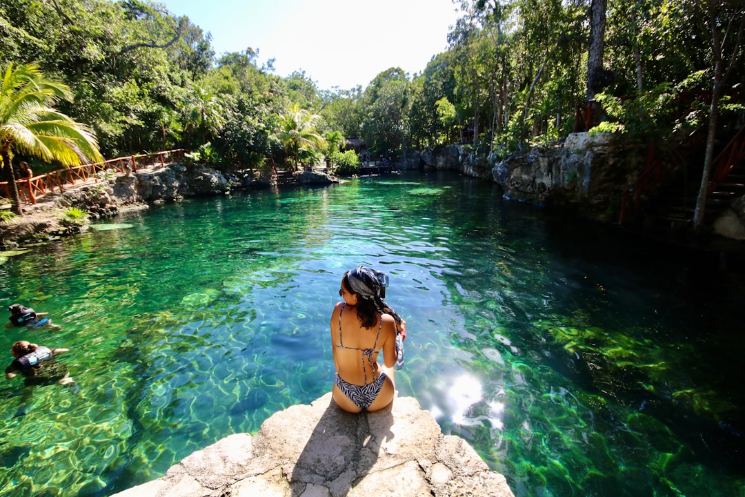
Cenotes—those crystal pockets of freshwater and dramatic karst collapses—are some of the most photographed features of the Riviera Maya. To many visitors they are beautiful swimming holes; to scientists and cave divers they are parts of a living underground landscape that can be interconnected across vast distances.
This article explains how cenotes form, whether they are connected, how experts map those connections, and why those links matter for ecology, archaeology and local communities. If you plan to visit, read the safety and conservation tips near the end.
What is a cenote?
Cenotes are natural sinkholes formed when limestone bedrock collapses and exposes groundwater beneath. The Yucatán Peninsula is a broad limestone platform with little surface drainage, so rainwater filters through cracks and creates a network of caves, passages and pools.
Many cenotes display a clear halocline—the mix of fresh and salt water—and host unique aquatic life. For a concise scientific overview, see the Wikipedia summary on cenotes and their geology: Wikipedia.
Are cenotes connected to each other?
Short answer: yes—some are. The degree of connection varies. In karst landscapes like the Yucatán, dissolution of limestone over geological time creates submerged caves and conduits that link multiple cenotes into continuous underground river systems.
However, not every cenote connects to a large network. Some are isolated chambers or short passages, while others serve as access points to kilometers of underwater cave. Hydrology, rock fractures and past sea-level changes determine connectivity.
How do scientists and divers map these connections?
Mapping cenote networks is a specialized blend of cave diving, surveying and modern technology. Cave divers lay guideline and survey passage dimensions, while survey teams combine depth, compass and distance data to build cave maps. Remote sensing, LiDAR of sinkhole rims, and sonar have also improved surface-to-subsurface correlations.
Hydrogeologists sometimes use dye-tracing tests—introducing harmless dye into one cenote and monitoring downstream emergence—to prove hydraulic links. Advances in 3D modeling and digital mapping have accelerated discoveries and improved safety, but exploration remains technical and risky work reserved for trained cave divers.
Famous interconnected systems in the Yucatán
The Yucatán hosts some of the world's longest underwater cave systems, where dozens or even hundreds of cenotes connect by submerged passages. Large systems span tens to hundreds of kilometers, demonstrating how individual cenotes can be part of an immense, shared aquifer.
These systems are continually refined as explorers find new connections. The scale of these networks underlines that a cenote is not merely a single pool but often a window into a regional groundwater system that supplies fresh water and records millennia of environmental and human history.
Why connections matter: water, ecology and archaeology
Connected cenotes are not just curiosities—they are critical parts of the freshwater supply for coastal communities. Contamination in one cenote can travel through conduits and affect distant wells and springs, so understanding connections is vital for water management and pollution control.
Connections also shape biodiversity: subterranean ecosystems host specialized species adapted to dark, nutrient-poor conditions. Archaeologists value connected cave systems as repositories of Mayan artifacts and human remains; water pathways sometimes preserved objects for thousands of years.
Visiting cenotes responsibly and safely
If you want to experience cenotes on the Riviera Maya, choose guided tours with certified providers and follow rules: avoid touching formations, use biodegradable sunscreen or rinse it off before entering, and never dive in restricted caves without proper training and equipment.
For practical travel information and visitor reviews of cenotes and tours in the region, consult local resources like TripAdvisor's Riviera Maya pages which list reputable sites and operator feedback: TripAdvisor. Always prioritize operators who support conservation and local communities.
What lies ahead for cenote research and protection?
Mapping and protecting cenote networks is a growing priority. As coastal development and tourism pressure increase, integrating scientific mapping with land-use planning helps protect freshwater quality and cultural heritage.
Citizen science, improved regulations, and partnerships between researchers, local stakeholders and tour operators are key to balancing access with conservation. Understanding which cenotes are connected helps craft smarter protection policies for the whole aquifer system.
Thanks for reading, and don't forget, Enjoy Life Moments!